Choose a Tool
Three modules — from regional scale to individual stream reach
Regional · HUC12
Watershed Targeting
Rank subwatersheds for mesic conservation potential using the SCD framework and 40-year persistence trends.
Launch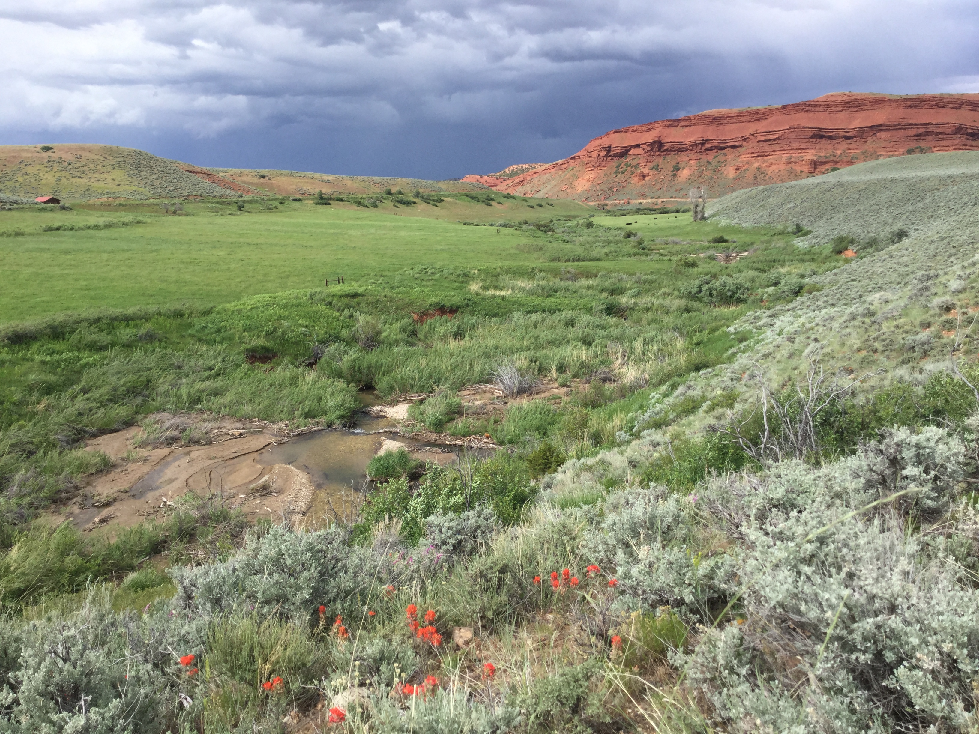
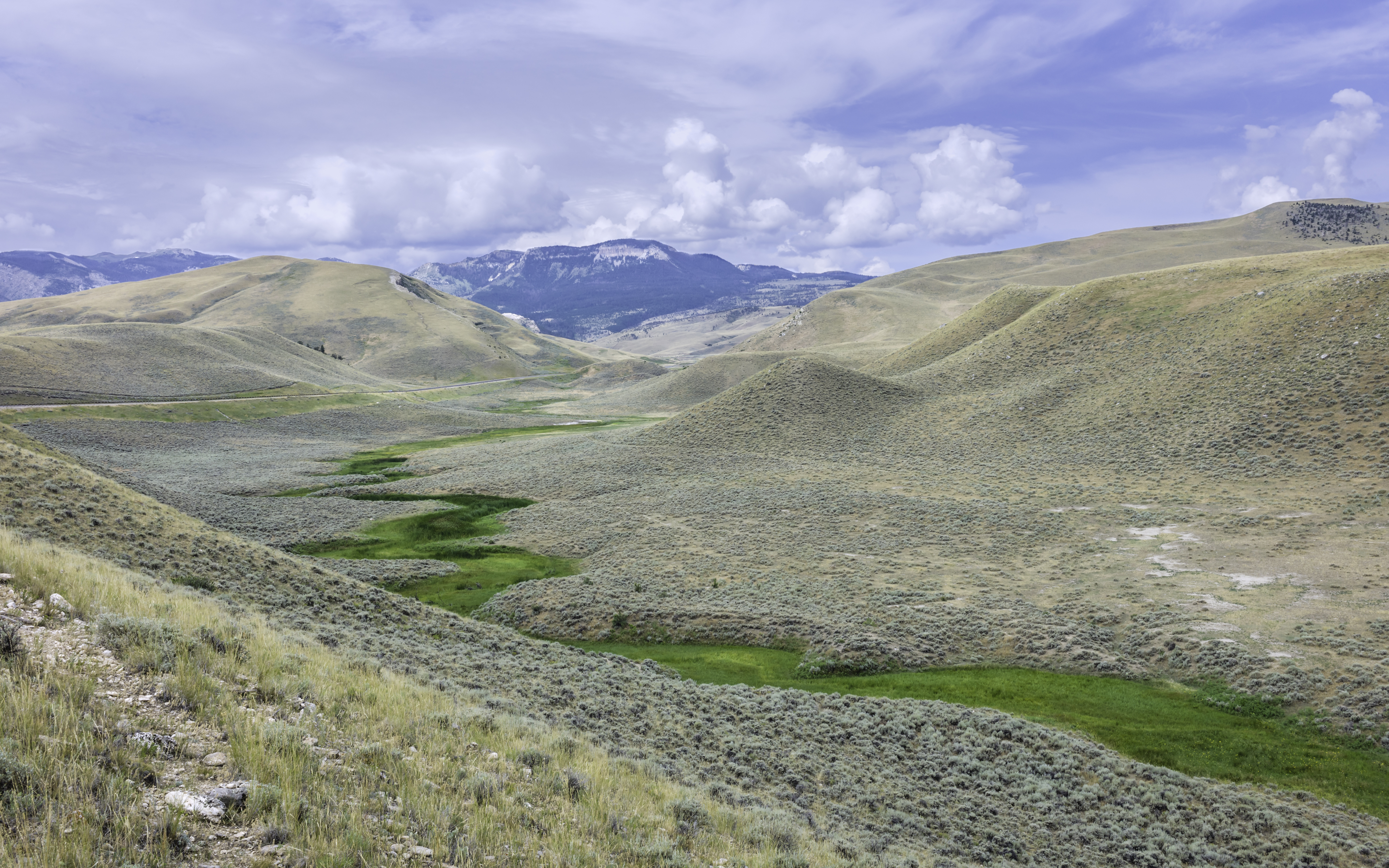
Landscape · 30 m pixel
Mesic Resources
Map herbaceous mesic persistence and explore time-series trends for any point or polygon across the biome.
Launch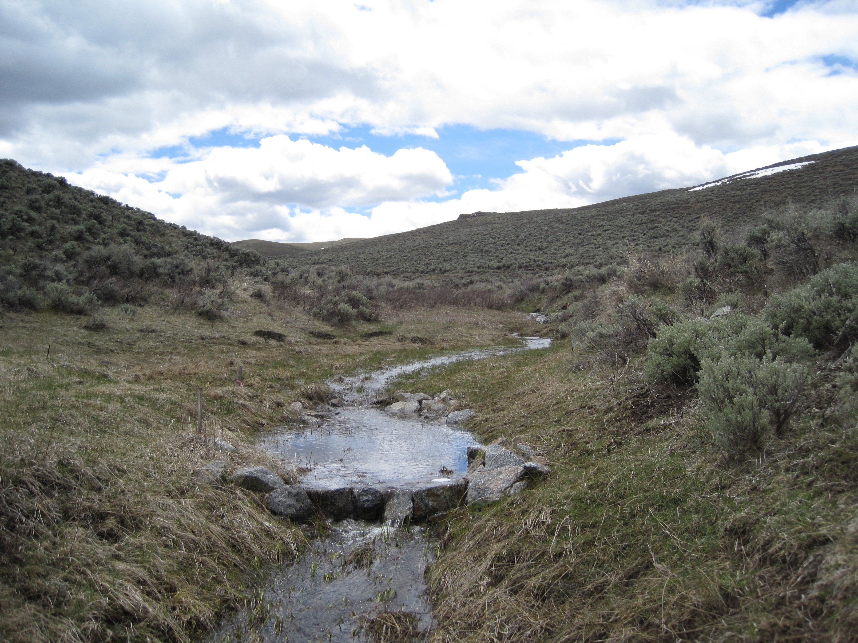
Reach · Valley bottom
Valley Bottoms
Assess individual VBET stream reaches for vegetation condition, floodplain connectivity, and restoration potential.
Launch